

By continuing to use this website, you consent to the processing of personal data collected through the Yandex.Metrica analytics program for the purpose of analyzing website traffic in accordance with the Personal Data and Information Processing Policy, and you accept the terms of the User Agreement
Redrawing When Scaling and Moving
Improved display graphics
Optimizing Data Caching to Save Space
Cash
GIS performance has been improved when handling large amounts of data
High Performance
Smooth zooming and dynamic captions, high rendering speed
Vector Tiles
Supports integration with external authentication systems (Keycloak, Active Directory, and others)
Flexible Access Rights System
Scaling individual application components independently of one another and improving the system's fault tolerance
Microservices Architecture
What's New in ORBISmap 3
Explore Live Map Demos


Other Features of ORBISmap
In ORBISmap, you can choose one of several interface themes for your project and select icons from the library
Pre-built Interfaces
Support for all popular map data formats. Import/export to Microsoft Excel
Supported Formats
gpkg
tab
xslx
csv
shp
gdb
kml
kmz
zip
json
geojson
gpkg
tab
xslx
csv
shp
gdb
kml
kmz
zip
json
geojson
Support for all popular map data formats. Import/export to Microsoft Excel
Supported Formats
gpkg
tab
xslx
csv
shp
gdb
kml
kmz
zip
json
geojson
gpkg
tab
xslx
csv
shp
gdb
kml
kmz
zip
json
geojson
We make sure your project is easy to use on any deviceInterfaces for Smartphones and Tablets
Interfaces for Smartphones and Tablets

Technical Specifications
-
 Publication of GeodataQuick Publication of Various Types of Spatial Data
 -
 APIORBISmap API for the development and support of projects by third-party developers
 -
 PerformanceHigh GIS performance with large amounts of data
 -
 SQL QueriesAdvanced capabilities for working with geodata using SQL queries
 -
 DBMSThe primary DBMS is PostgreSQL with the PostGIS extension; it supports direct database connections from third-party systems
 -
 LoadProcessing more than 1,000 concurrent requests per server through geodata caching
 -
 World MapA comprehensive world map built entirely on OpenStreetMap data
 -
 IntegrationSupport for external mapping services, georeferencing of data, and extensive integration capabilities
 -
 Web serverA high-performance web mapping server with intelligent rendering and geodata caching systems
 -
 Data VisualizationDisplaying analytical and statistical data on maps with a selection of various visualization types and algorithms
 -
 User-friendly interfaceModern interfaces are built using HTML5 and JavaScript. Easy management of spatial data and access rights to it
 -
 UI ThemesReady-made interface themes that can be further customized. Control map styles using the builder or CartoCSS
ORBISmap is used by










Featured Projects
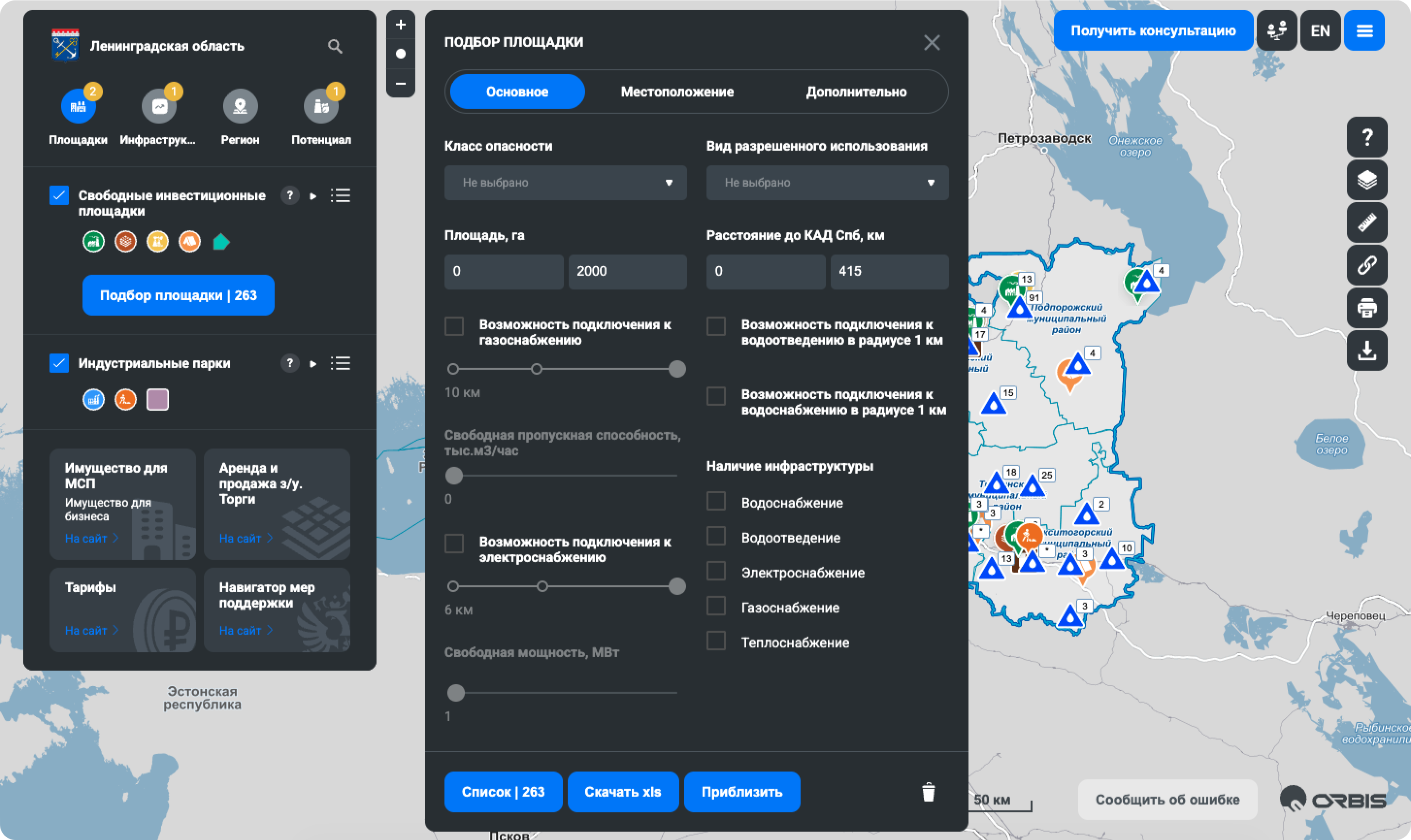
Investment Development in the Leningrad Region
A unique project that highlights the investment potential of the Leningrad Region and provides exclusive information on the comprehensive development of the region, including planned infrastructure projects, forecasts for the socioeconomic situation, master plans for settlements, and much more

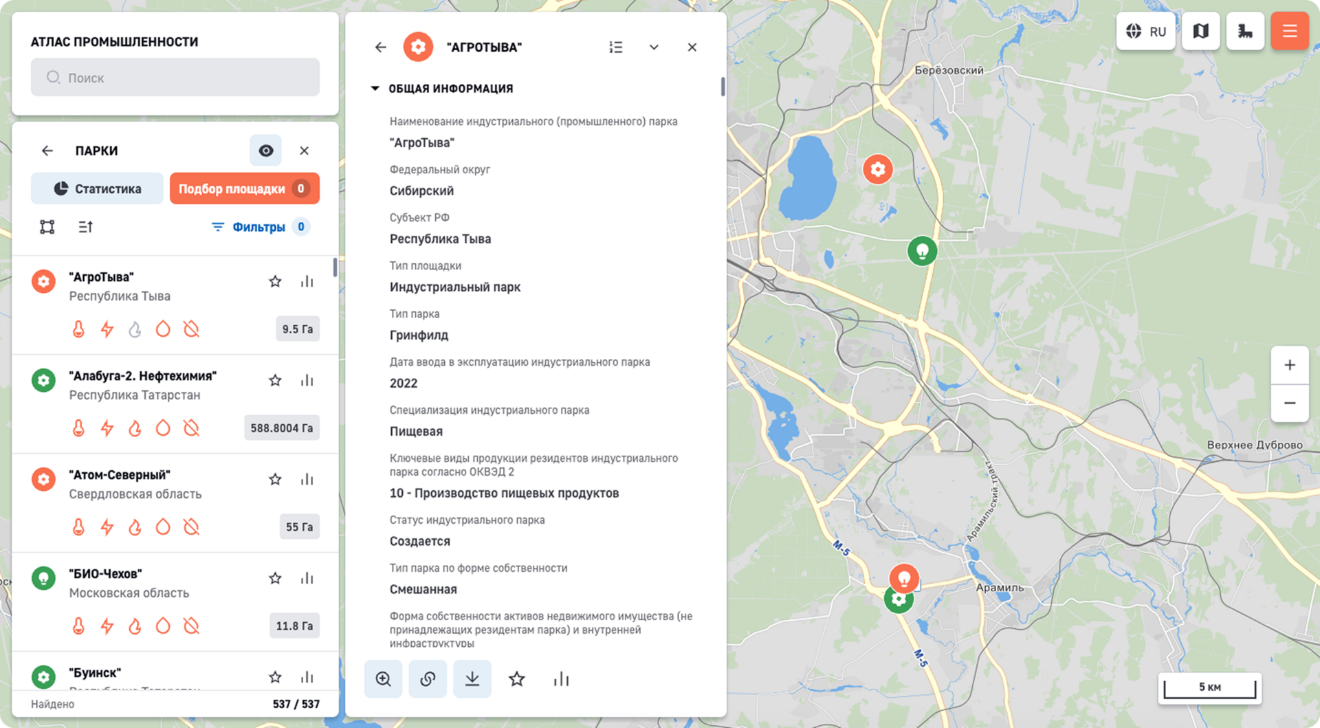
Geographic Information System for Industrial Parks, Technology Parks, and Clusters
The State Geoinformation System of the Russian Ministry of Industry and Trade, which contains information on industrial parks, technology parks, and clusters in the Russian Federation, as well as statistical data on trends in their development and indicators of industrial development in the regions of the Russian Federation

Kaluga Region Geoportal
A resource that brings together the region's geodata from various fields.
It serves as a platform for maintaining the region's spatial data repository and creating thematic geoservices using data from various ministries and agencies.
It serves as a platform for maintaining the region's spatial data repository and creating thematic geoservices using data from various ministries and agencies.

Tyumen Region Geoportal
Contains mapping services that provide access to regional spatial data stored in the information systems of the Tyumen Region’s executive government agencies

Get a Demo